Why Did Ancient Romans Build Roads in Perfectly Straight Lines?
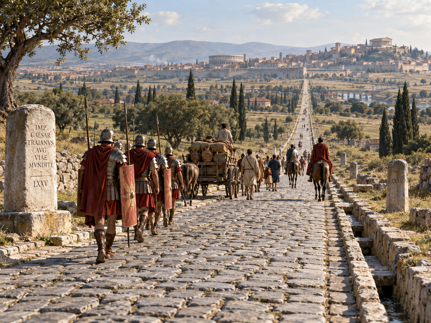
Look at an old Roman road from above and it can seem almost too neat.
A line cuts across a field.
It climbs a hill.
It continues toward the horizon.
Sometimes it keeps going for kilometres without making a turn.
You might look at it and think:
Why would the Romans make things so difficult?
Why not simply follow the easiest path?
The surprising answer is that they often did.
Roman roads were not all perfectly straight. In steep or difficult country, they curved, climbed more gently, crossed valleys and worked around obstacles. English Heritage points out that Roman roads were often straight in sections, but surveyors adjusted their routes when terrain made a direct line impractical.
But where the land allowed it, Roman engineers liked a direct route.
And they had a good reason.
A straighter road could connect two important places with less wasted distance. It could help soldiers move quickly, make travel more predictable and fit into the wider system of Roman administration.
The Romans also had tools for laying out those long lines.
One of the most important was the groma, a simple surveying instrument that helped surveyors establish straight alignments and right angles.
So the famous straight Roman road was not the result of stubbornly drawing a ruler line across the landscape.
It was the result of planning, surveying and knowing when to stop being straight.
Chapter 1 — The Road Usually Started With Two Places
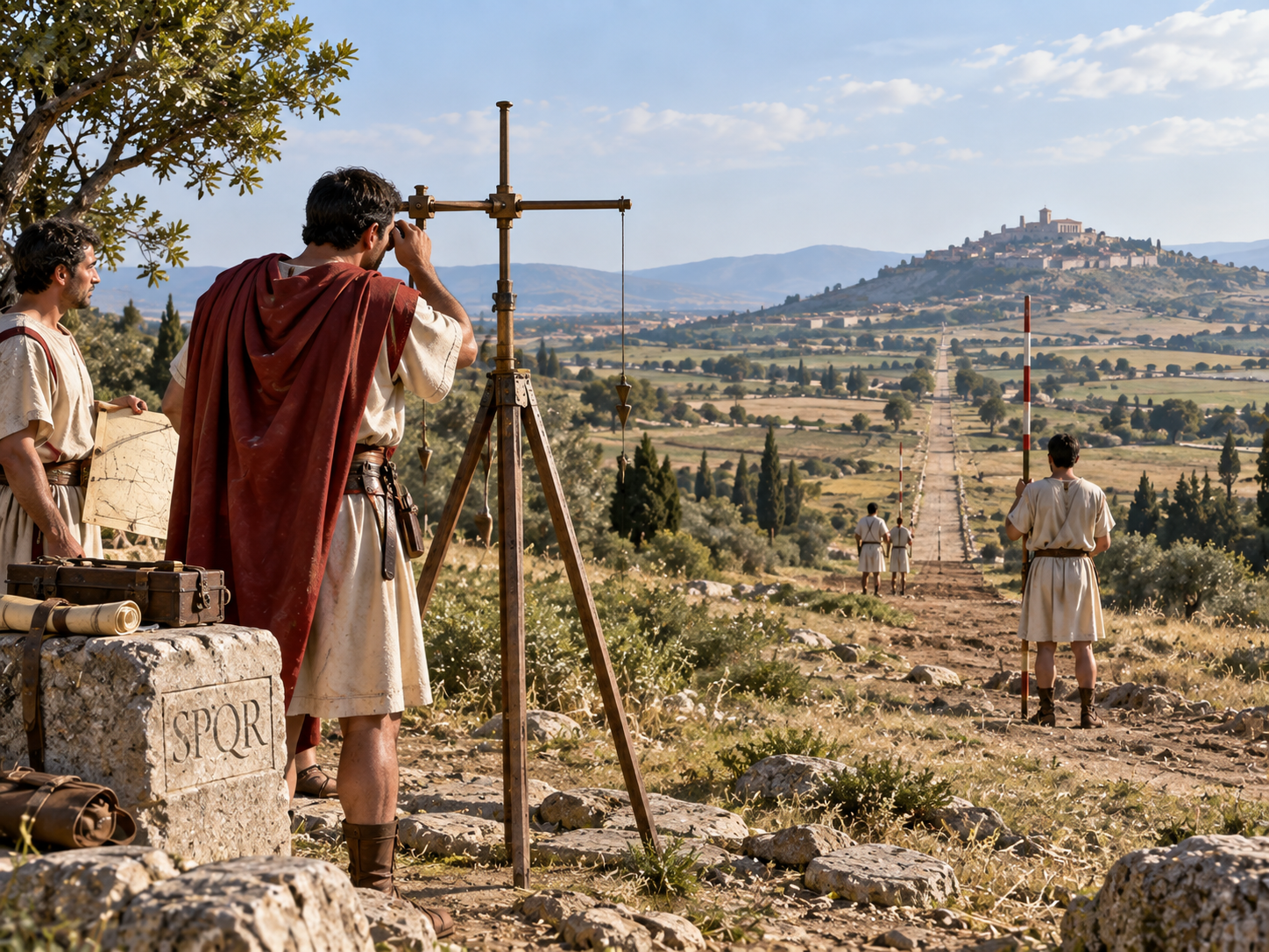
Imagine you are a Roman surveyor.
You have been told that a road must connect two important places.
Perhaps a military base and a town.
Perhaps a port and a settlement farther inland.
You stand at the starting point.
The destination is nowhere near visible.
There may be hills between you.
So how do you begin?
You start by deciding on the general direction.
Roman surveyors had tools for laying out straight lines. The best-known was the groma. It consisted of a vertical staff with a cross-shaped frame and hanging weights. By looking along the lines formed by the hanging cords, a surveyor could establish straight alignments and right angles.
But the groma was not a magic device.
It could tell you whether one point was lined up with another.
It could not make a mountain disappear.
It could not see through a hill.
And it did not give a surveyor a modern satellite map of the whole route.
Instead, the road was laid out through a series of carefully planned alignments.
Surveyors could use visible high points or signals to continue a line when the final destination was not directly visible. The basic idea was simple: establish a direction, mark it, move farther along it, and repeat.
That is how a road could seem almost impossibly straight today.
It was not one enormous line drawn in a single step.
It was many controlled steps that stayed on the same general alignment.
How Did Roman Surveyors Draw a Straight Line?
Chapter 2 — Straight Roads Saved Distance
Why bother with all that work?
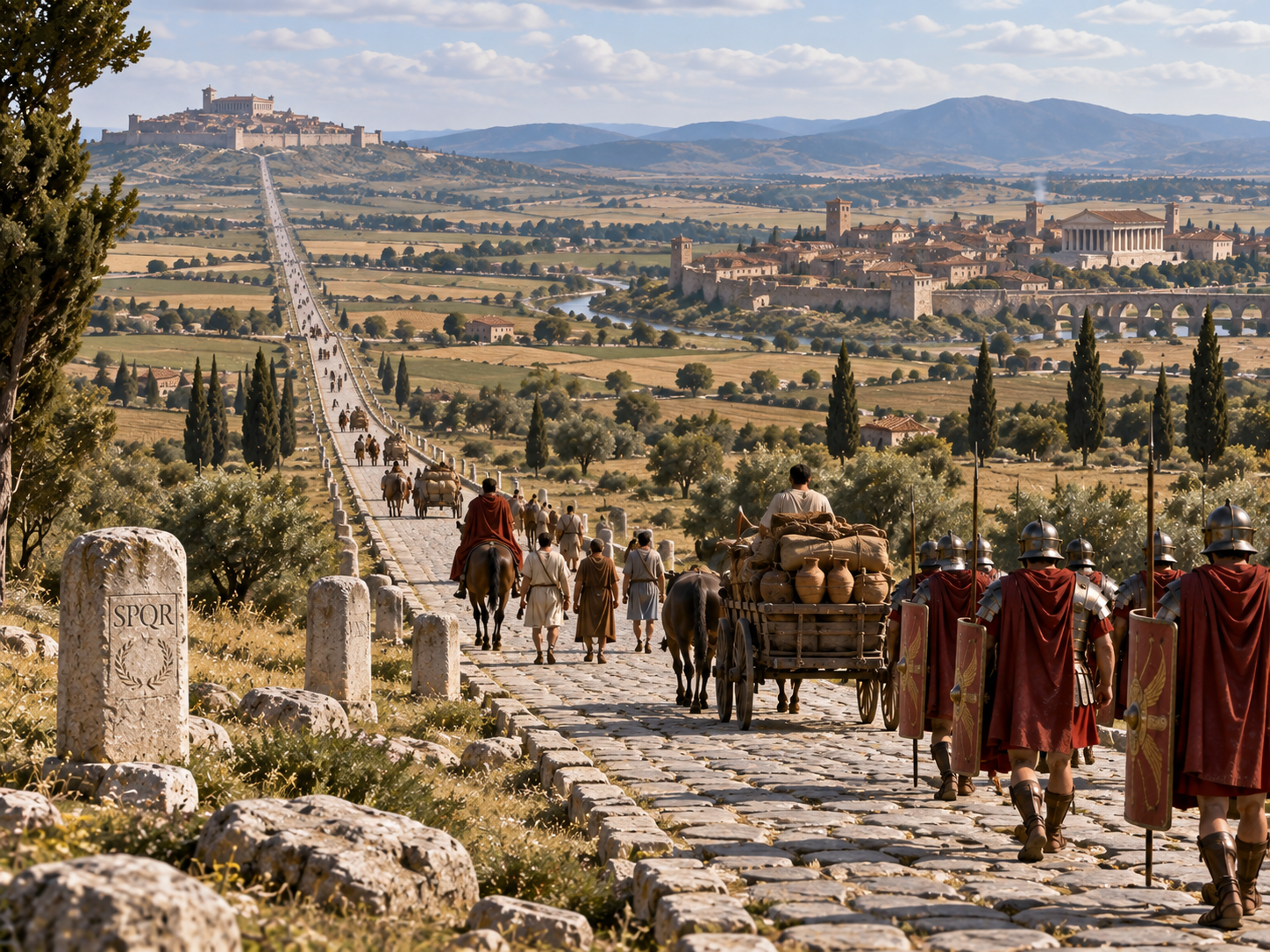
Because a direct road can save distance.
Imagine two towns separated by a broad, gently rolling plain.
One route wanders around every small hill and bend.
The other goes directly across the landscape.
The second route may be shorter.
That matters when people are walking.
It matters even more when the people are carrying equipment, moving supplies or marching as an army.
Roman roads were closely tied to military and administrative needs. In Roman Britain, for example, new roads were built to connect important military locations, ports and settlements, allowing troops, officials and messengers to move more efficiently.
A shorter route also meant less travel time.
For a large empire, that was useful.
An official did not have to spend an unnecessary extra day reaching a provincial centre.
A messenger could arrive sooner.
Soldiers could move between bases more efficiently.
Merchants could move goods along established routes.
So straightness was not simply about looking impressive on a map.
It had a practical value.
The Roman road system was built to move people and information across enormous distances.
And when the landscape gave engineers a relatively easy path, there was little reason to make the road longer just because a curve looked more natural.
Chapter 3 — But They Did Not Build Straight Roads Through Everything
This is the part that often gets left out.
The Romans liked straight roads.
They were not obsessed with them.
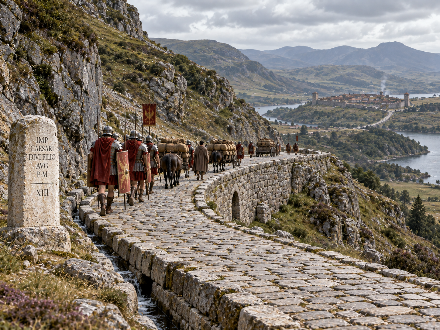
Look at a mountain.
A straight line up the steepest slope may be the shortest route on a map.
It may also be a terrible road.
A wagon struggles.
Horses struggle.
Soldiers tire.
Water runs across the surface.
And construction becomes much harder.
So the road bends.
Roman surveying evidence shows that in hilly country, roads could use a series of shorter straight alignments rather than one continuous line. Cambridge's M. J. T. Lewis notes that Roman roads were by no means uniformly straight and that difficult terrain required engineers to seek gentler gradients.
English Heritage makes the same point from the archaeology of Roman Britain: roads could curve around steep slopes, cliffs and rivers rather than blindly maintaining a straight line.
This is why the famous Roman road can be misleading when you see it from a photograph.
One part may run perfectly straight.
Then it turns.
Then it becomes straight again.
From the air, you can sometimes see those changes clearly.
The Romans were not trying to defeat geography.
They were trying to work with it while staying as direct as practical.
That small difference explains a lot.
Chapter 4 — A Straight Road Was Also Easier to Plan
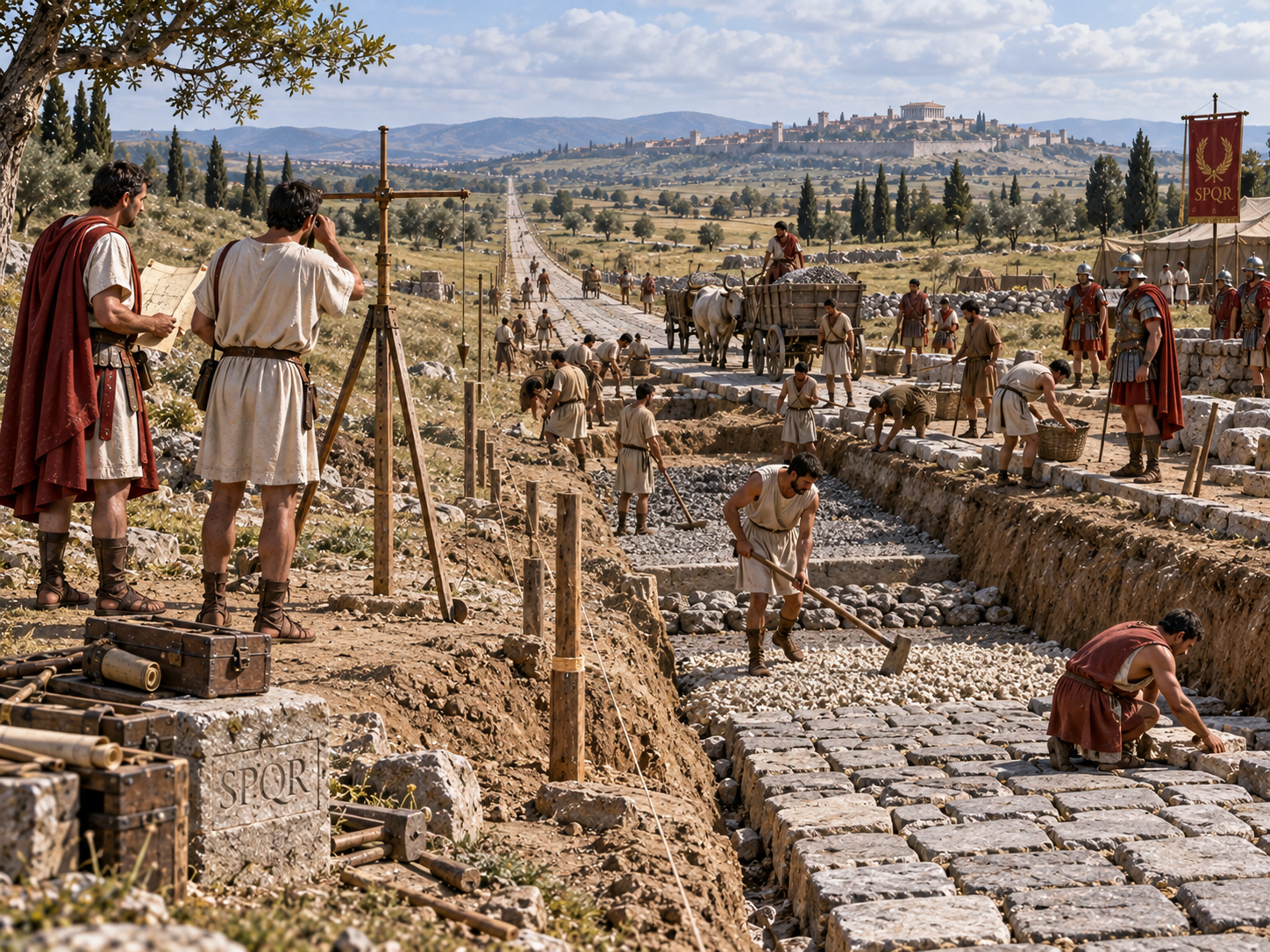
There is another advantage to a direct road.
Once the main line had been decided, the rest of the work became easier to organize.
The road needed a route.
The route needed surveying.
The surveyors had to mark where the road should pass.
Then construction crews could prepare the ground, build drainage, lay foundations and create the surface.
Roman roads were not simply stone slabs placed directly onto dirt. Construction varied by location, but major roads commonly involved prepared layers of stone and other materials, with the final surface laid on top.
The road therefore had to be planned before the expensive work began.
And that made accuracy important.
You did not want to build half a road and then discover that the next section no longer connected properly to the town ahead.
Surveying gave the builders control.
The groma gave them a way to establish direction.
The terrain told them where they needed to adjust it.
Together, those things turned a rough track into something much more deliberate.
That is one reason Roman roads can look so different from paths made simply by repeated foot traffic.
A footpath follows people.
A major Roman road was often planned first and built second.
Chapter 5 — Why Did They Sometimes Cut Through the Landscape?
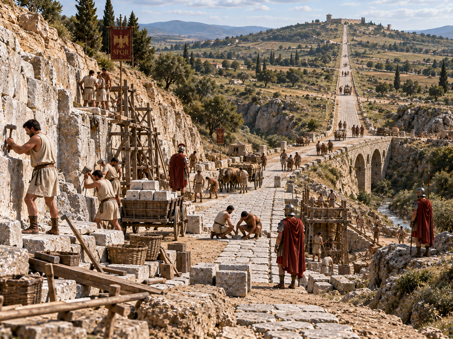
Now look at some Roman roads running across open countryside.
They can seem almost stubborn.
A ridge lies ahead.
The road climbs it.
A shallow valley appears.
The road crosses it.
Why not simply go around?
Sometimes going around would make the journey longer than necessary.
If the obstacle was manageable, Roman engineers could choose to cross it.
This was especially useful across broad, open country where the terrain was not too difficult.
A road that remains reasonably direct can save distance even if it requires some extra work.
The Romans also had a large supply of labour.
Armies could help with road construction.
Local workers could be employed.
Stone could be quarried and moved.
Bridges could be built where a river stood in the way.
The result was a willingness to build infrastructure rather than simply accept every natural obstacle as a reason to change direction.
But that willingness had limits.
A mountain too steep to climb directly was still a mountain.
A wide river might require a bridge.
A swamp might make a straight route expensive or unstable.
So the road's final shape came from a negotiation.
How much extra construction is worth saving how much extra distance?
That is a modern engineering question too.
The Romans were simply asking it with different tools.
Chapter 6 — Straightness Was Useful, but It Was Not the Goal
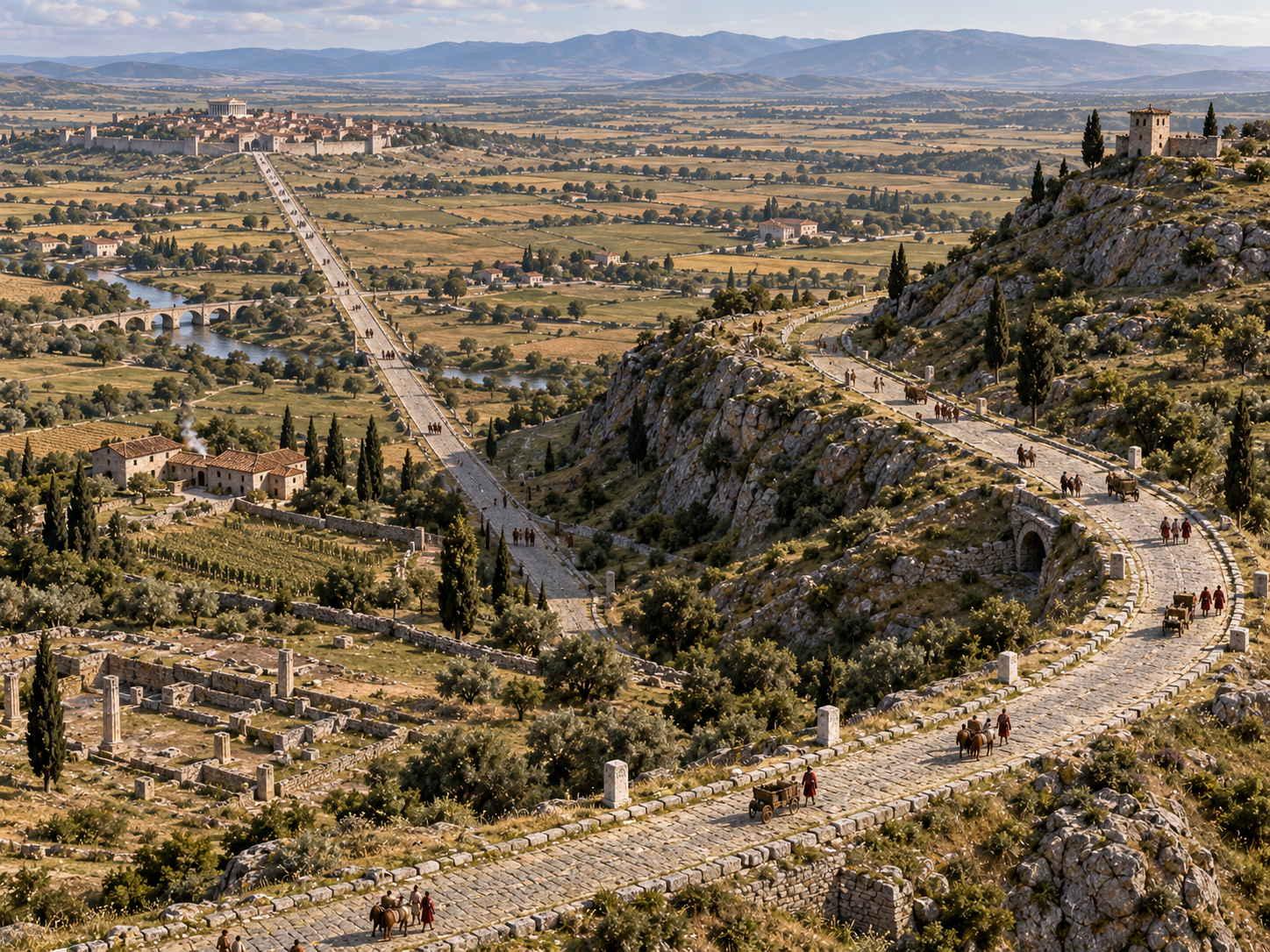
Modern maps can make Roman roads look as though the engineers cared about one thing above everything else:
Straightness.
But a recent large-scale study of the Roman road network gives us a more complete picture.
Researchers mapped nearly 300,000 kilometres of Roman roads and found that straight alignments were strongly preferred where the terrain allowed them. But across the empire as a whole, Roman roads were not uniformly straight. Physical geography often forced shorter, more winding routes.
That matters because it changes the question.
Instead of asking:
“Why did the Romans build perfectly straight roads?”
a better question is:
“Why did Roman engineers prefer direct roads when the landscape allowed them?”
Now the answer is much clearer.
Direct roads reduced unnecessary distance.
They helped movement.
Roman surveyors had tools that could establish straight alignments.
And Roman engineers were willing to build substantial infrastructure to make those routes work.
But when a straight line became too expensive, too steep or simply impractical, they changed course.
The road was meant to serve people.
Not the other way around.
Chapter 7 — That Straight Line Was Part of Something Bigger
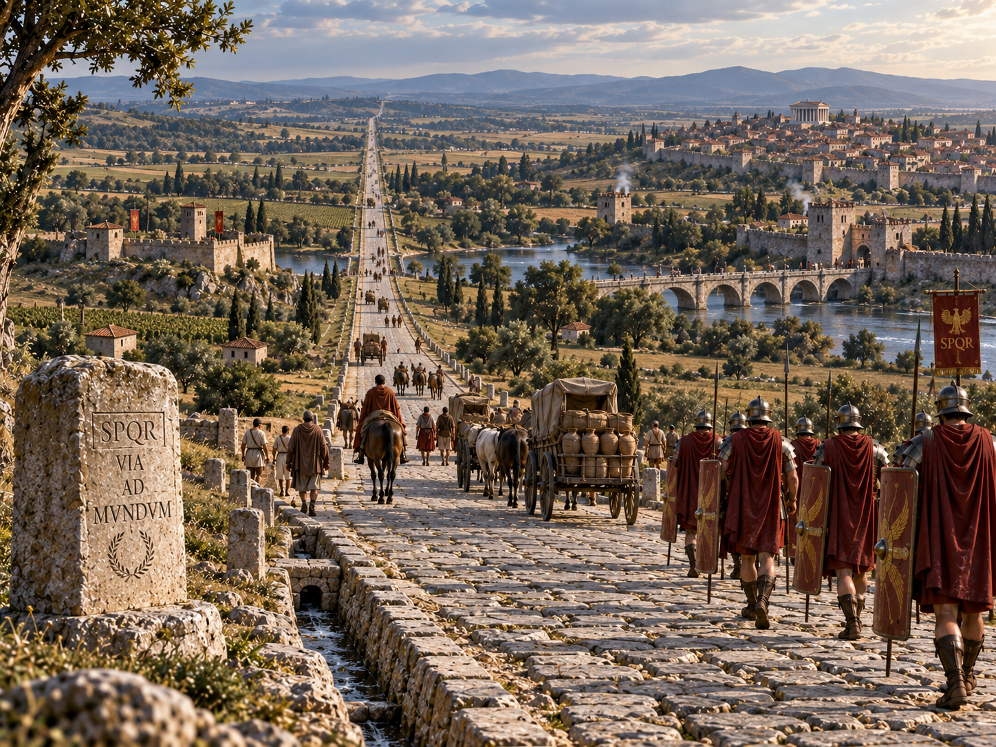
A Roman road was never just a line between two points.
It belonged to a network.
A road connected a town to another town.
A military base to a port.
A provincial capital to smaller settlements.
And those roads connected again and again until people, goods, soldiers and messages could move across enormous parts of the Roman world.
A new 2026 study of the Roman road network found that the empire's roads formed a complex system extending across Europe, North Africa and the Middle East. The researchers also found that terrain strongly influenced how straight individual routes could be.
That helps explain why some Roman roads still look almost unbelievably direct.
They were not random tracks that happened to line up.
They were pieces of a huge transportation system.
The straight sections were useful because they made the network more efficient where the land allowed it.
The curves were useful because they allowed the network to survive where the land did not.
So the real achievement was not making every road perfectly straight.
It was building a road system that could cross a continent while adapting to the ground beneath it.
And that is why, when you see a Roman road disappearing toward the horizon, the straight line is only part of the story.
There was an engineer behind it.
A surveyor.
A workforce.
A destination.
And a decision about how much of the landscape was worth changing.
Frequently Asked Questions
1. Why did the Romans build straight roads?
They preferred direct routes because they could reduce unnecessary travel distance and improve movement between important towns, military sites and administrative centres. They used surveying methods to establish long straight alignments where the terrain allowed them.
2. Were Roman roads actually perfectly straight?
No. This is an exaggeration. Roman roads often had long straight sections, but they also curved around steep slopes, rivers and other difficult terrain. A recent large-scale study found that straightness was preferred when geography permitted it, not everywhere.
3. How did Roman surveyors make roads straight?
They used surveying tools, especially the groma, to establish straight lines and right angles. Surveyors could create a long route through a series of aligned sections rather than laying out the entire road at once.
4. What was a Roman groma?
A groma was a Roman surveying instrument with a vertical staff, cross-shaped frame and hanging weights. It helped surveyors establish straight alignments and right angles.
5. Why didn't Roman roads always go around hills?
Going around every small hill or obstacle could make a journey much longer. Where a slope was manageable, engineers could build a road directly across it. They adjusted the route when the terrain became too difficult.
6. Were Roman roads mainly built for the army?
Military movement was an important reason for many roads, especially during Roman expansion. But roads also served officials, messengers, merchants and civilian travelers and became part of the wider transportation network.
7. Did Roman roads always connect directly to Rome?
No. The Roman Empire contained a huge network connecting many cities, ports and military centres. A 2026 network study shows that several cities outside Rome were major transport hubs within the imperial road system.
8. Why are Roman roads still visible today?
Their strong construction, long-lasting stone surfaces and carefully planned routes allowed some roads to survive or leave traces in later landscapes. In some places, modern roads even follow parts of ancient Roman routes.
9. Did Roman engineers ignore difficult terrain to keep roads straight?
No. That is one of the biggest myths about Roman roads. Archaeological evidence shows that engineers changed routes to deal with steep slopes, cliffs, rivers and other obstacles.
10. What made Roman roads so impressive?
The important achievement was not simply their straightness. It was the combination of surveying, construction, planning and network design that allowed Roman roads to connect large parts of the empire while adapting to very different landscapes.