Introduction
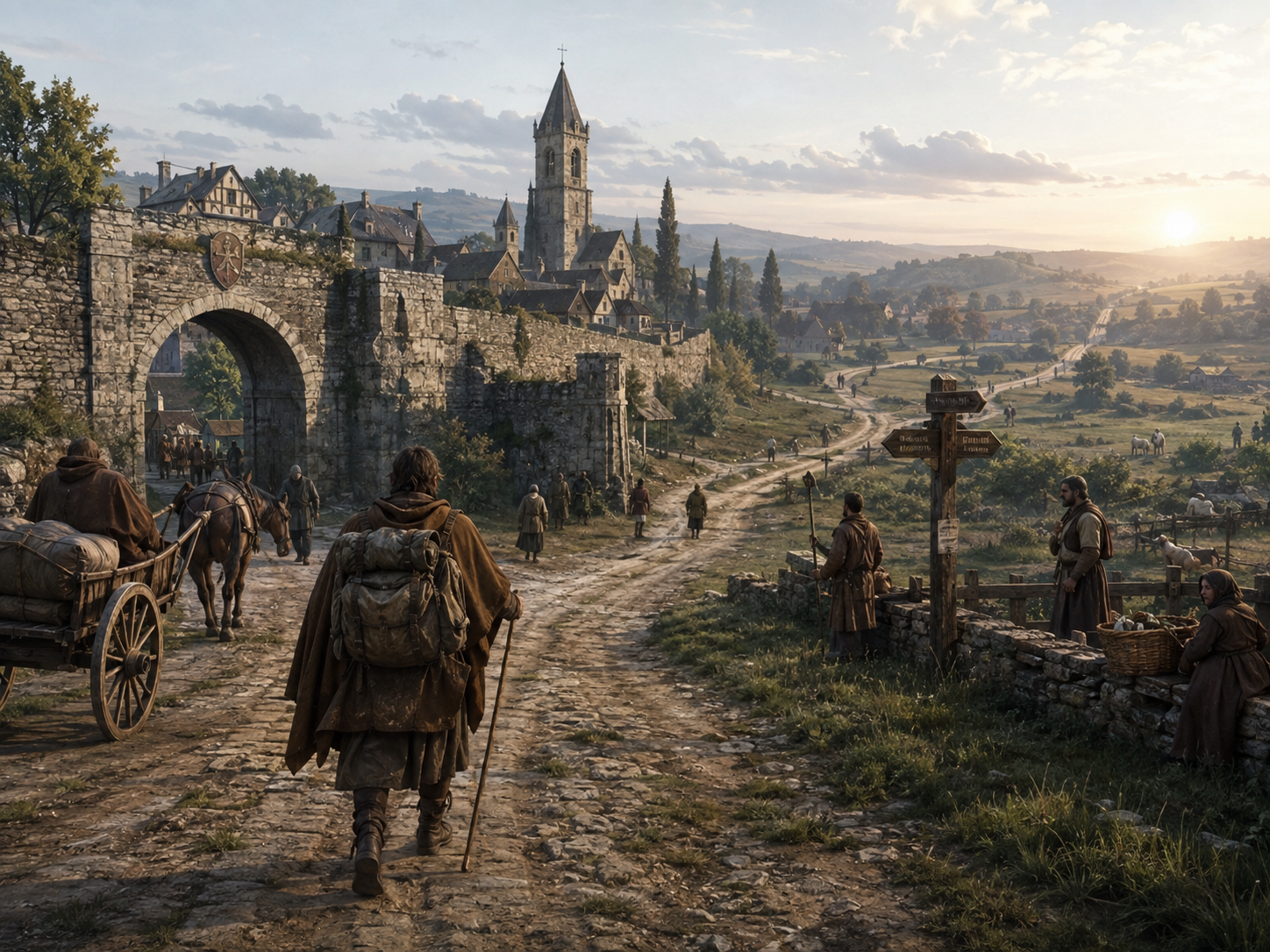
You are leaving town.
The road ahead is clear, but you have never been this way before.
A few miles later, the road splits.
One path goes left. The other goes right.
Today, you would probably check your phone.
A medieval traveler had no phone, no GPS and often no detailed map either.
So how did you know which road to take?
The answer is more interesting than simply saying that people “knew the way.”
They followed roads that connected familiar places. They watched for churches, bridges, rivers and hills. They asked people coming in the opposite direction. On longer journeys, they remembered one town after another and sometimes used written itineraries to guide them.
In other words, you did not always need to know the whole journey.
You needed to know what came next.
That sounds simple.
But before you can really understand how it worked, you have to imagine the world the traveler was moving through.
There were no glowing road lines telling you where to turn.
The landscape itself had to do some of the talking.
Chapter 1 -The Road Splits. Which Way Do You Go?
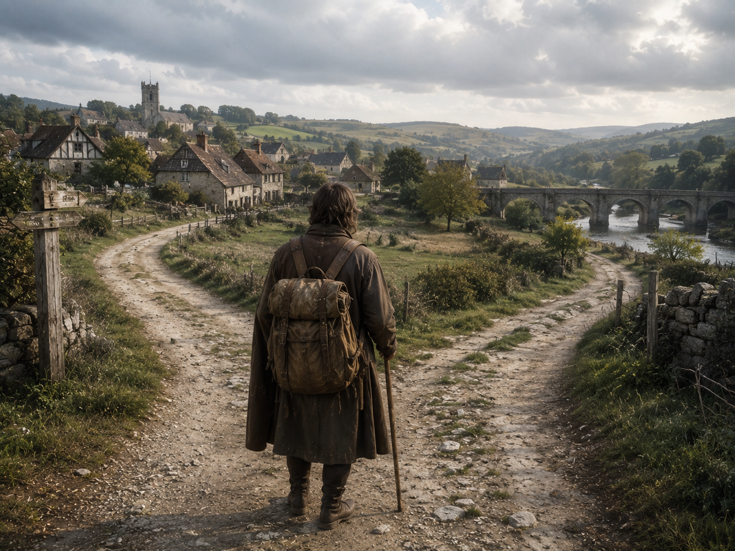
You have been walking since morning.
The town you want is still ahead.
Then the road splits.
One path goes left.
The other goes right.
Today, you would probably stop and check your phone.
A medieval traveler had no such option.
But that did not mean both roads were equally mysterious.
Roads connected known places. A traveler might know that the left-hand road went toward a particular village, while the other continued toward a different town. A bridge, a crossroads or a settlement could become a point in the journey.
You did not always need to know the whole route.
You only needed to know enough to take the next step.
This is one of the interesting things historians have found when looking closely at medieval wayfinding. Travelers could understand a landscape through smaller pieces: roads, crossroads, landmarks, districts and other recognizable points. Recent research by historian Ruth Evans describes medieval wayfinding as a mixture of practical knowledge, memory and cooperation between people.
Think about how you give directions to someone today.
You might say:
“Go down this road.”
“Turn after the bridge.”
“Keep going until you see the church.”
You do not have to draw the entire city.
The other person only needs enough information to keep going.
Medieval directions could work in much the same way.
A road led somewhere.
A crossroads divided two journeys.
A familiar name told you which way to continue.
And if you were unsure?
There were other ways to find out.
The important point is that medieval travelers were not wandering through an empty landscape and somehow hoping to reach the right town.
They were moving through a landscape that already had roads, settlements and people who knew it.
The map was not always in your hand.
Sometimes, it was the road beneath your feet.
The Road Could Tell You Where to Go
Chapter 2 — The Church Tower Ahead Might Be Enough
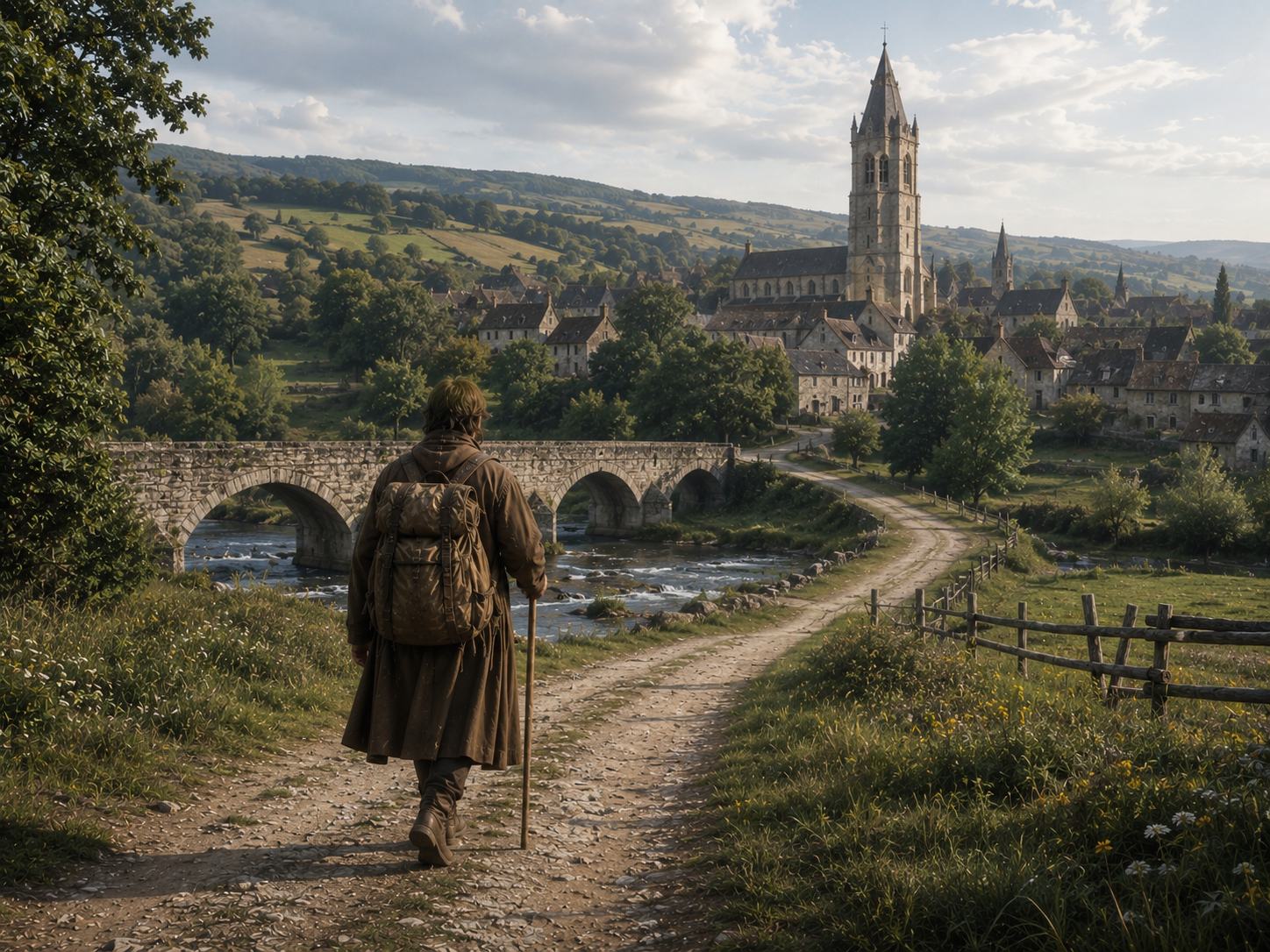
You are still walking.
After a while, something appears in the distance.
A church tower.
You were told to look for it.
Now you know you are getting close.
The tower has not given you a precise distance.
It has done something more useful.
It has told you that the landscape in front of you is the landscape you expected to see.
Medieval travelers could use landmarks in this way.
A church.
A bridge.
A hill.
A river.
A gate.
Even a particular building could become useful if people in the area knew it and travelers had been told to look for it.
Research into medieval wayfinding specifically identifies landmarks, guides, maps and signs among the things travelers could use to find their way.
There was no need for every landmark to be impressive.
A small bridge might be more useful than a beautiful mountain if everyone knew:
Cross the bridge, then take the road on the right.
That is the important part.
A landmark becomes useful when other people recognize it too.
This also made directions easier to remember.
Imagine someone telling you:
“Walk three miles northwest, then follow a road at a particular angle.”
That is not easy to remember.
Now imagine:
“Follow the river until you reach the stone bridge. Cross it. The village is beyond the hill.”
You can picture that.
You can remember it.
And when you finally see the hill, you know you are still on the right road.
The landscape itself becomes part of the directions.
A medieval traveler did not have to carry a picture of the whole country.
They could carry a series of places in their memory.
First the bridge.
Then the village.
Then the hill.
Then the town.
One place led to another.
And the journey slowly made sense.
Reading the Landscape
Chapter 3 — When You Did Not Know, You Asked
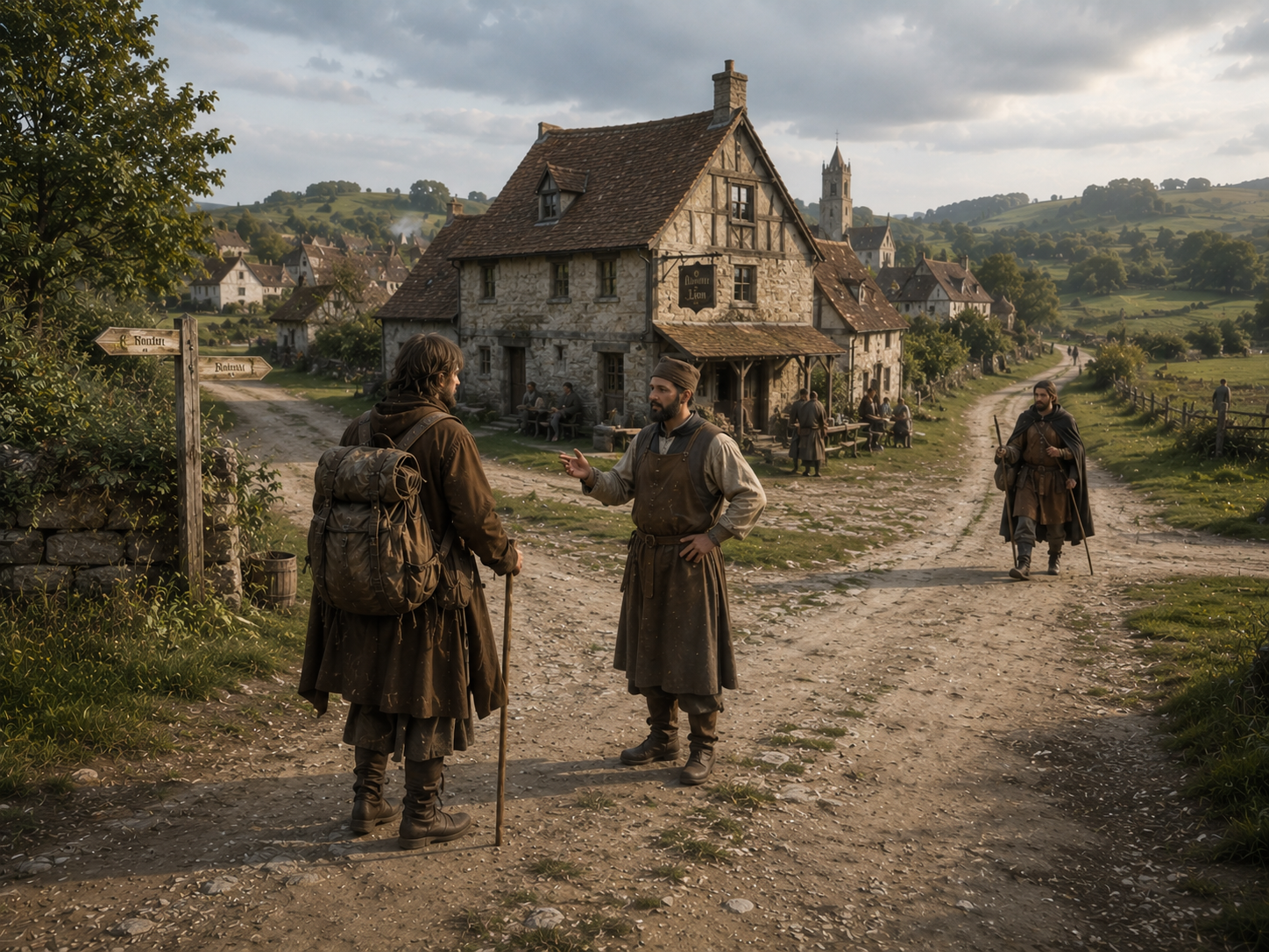
There is another option at a crossroads.
Ask someone.
It sounds too simple to be important.
But imagine arriving somewhere you have never been before.
A farmer is coming down the road.
A merchant is heading in the opposite direction.
An innkeeper is standing outside an inn.
Someone here knows where you are.
Someone knows the road.
And perhaps someone has just come from the place you are trying to reach.
You ask.
This made medieval travel a surprisingly social activity.
Ruth Evans's research argues that medieval wayfinding depended in part on human cooperation. Travelers did not simply carry all their geographical knowledge inside their own heads; they could use guides, local people, signs and other sources of information along the journey.
That makes sense when you think about how people actually travel.
A person living beside a road sees travelers every day.
They know which village comes next.
They know where the river is.
They know which road becomes difficult after rain.
They may even know that the road you are about to take is not the road you want.
A merchant could have a different kind of knowledge.
Merchants moved between towns because their work required it.
A guide might know a particular region especially well.
An innkeeper could hear news from people arriving from different directions.
Information moved with them.
And sometimes it moved faster than a traveler could.
There was another difficulty, though.
What if you could not speak the local language well?
Surviving medieval phrasebooks show that travelers sometimes needed practical language for communication in unfamiliar places. That tells us something very ordinary about medieval travel: knowing the road was useful, but being able to ask about the road was useful too.
The modern traveler asks a phone.
The medieval traveler could ask a person.
Different tool.
Same problem.
Which way?
The People Who Knew the Way
Chapter 4 — A Long Journey Became Many Small Ones
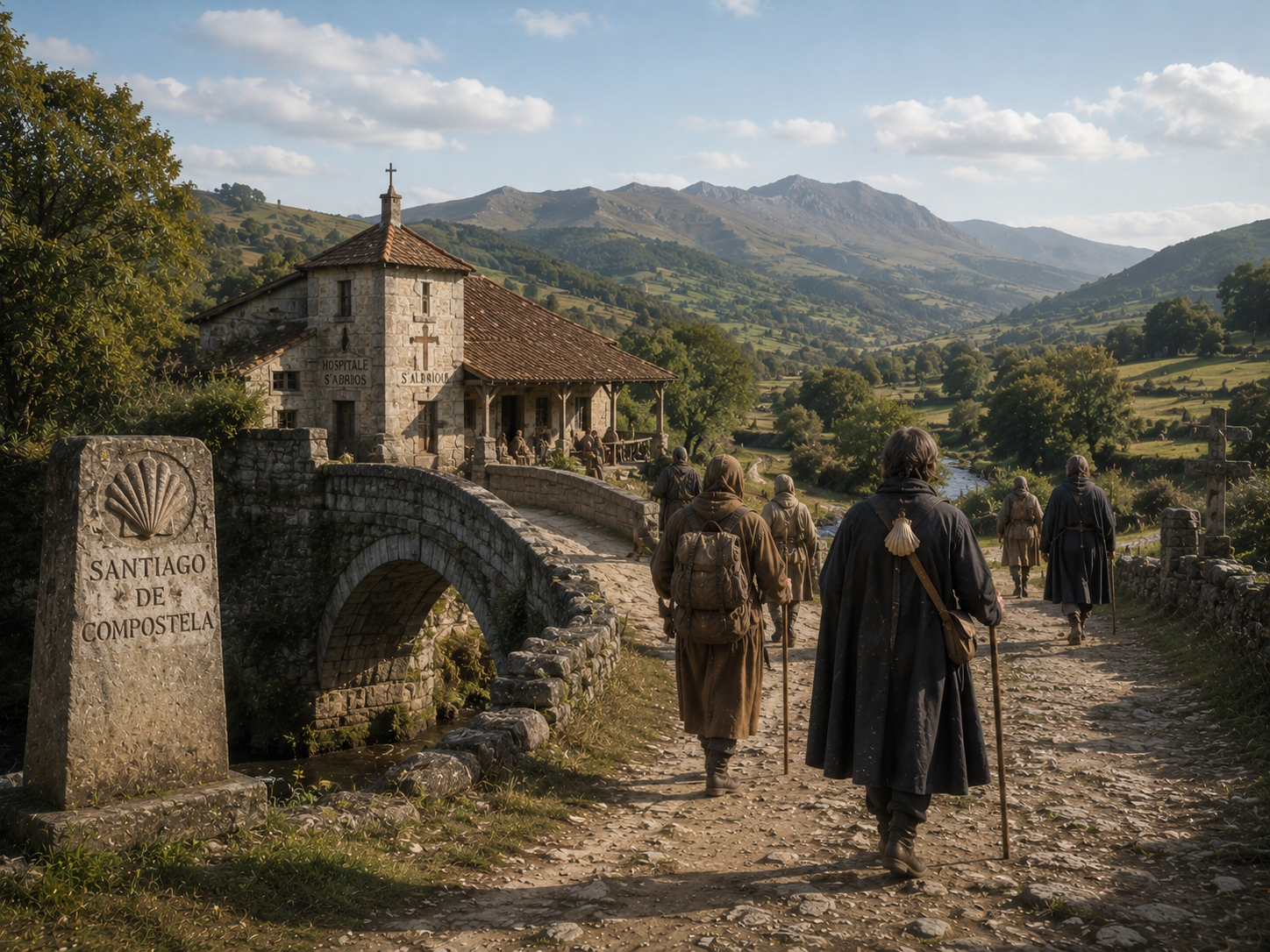
Now imagine a much longer journey.
Not to the next village.
Not even to the next town.
Hundreds of miles away.
That sounds difficult even with a modern map.
For a medieval traveler, the trick was not to imagine the entire distance at once.
Think about a pilgrimage to Santiago de Compostela.
A pilgrim did not need to wake up every morning thinking about the hundreds of miles still left.
The road could be broken into stages.
Reach one town.
Then another.
Cross a river.
Find a place to stay.
Continue toward the next important stop.
There is an extraordinary surviving example of this in the Codex Calixtinus, a 12th-century compilation associated with the pilgrimage to Santiago. Its fifth book describes the route through France and Spain and gives information about stages, sanctuaries, hospitality, food, fountains and local customs. The official Way of Saint James site describes it as a genuine medieval guide to the pilgrimage.
That is more interesting than simply saying:
“Medieval people had travel guides.”
The guide was helping turn a very large journey into a series of smaller ones.
You could remember the next place.
Then the next.
Then the next.
This way of thinking was useful outside pilgrimage too.
Even royal journeys were built around a sequence of places. Edward I's household, for example, moved constantly through England, sometimes covering more than 20 miles in a day, although around 15 miles was normal in the case studied by historian Michael Prestwich. Roads were important, but waterways and lesser routes were used too.
A journey was therefore not necessarily one enormous line stretching across a map.
It was a chain.
One place connected to another.
And once you reached one, you were ready for the next.
That made the distance feel smaller.
Not because the road had become shorter.
Because the traveler no longer had to hold the whole road in their head.
One Long Journey, Many Small Journeys
Chapter 5 — Medieval People Did Have Maps
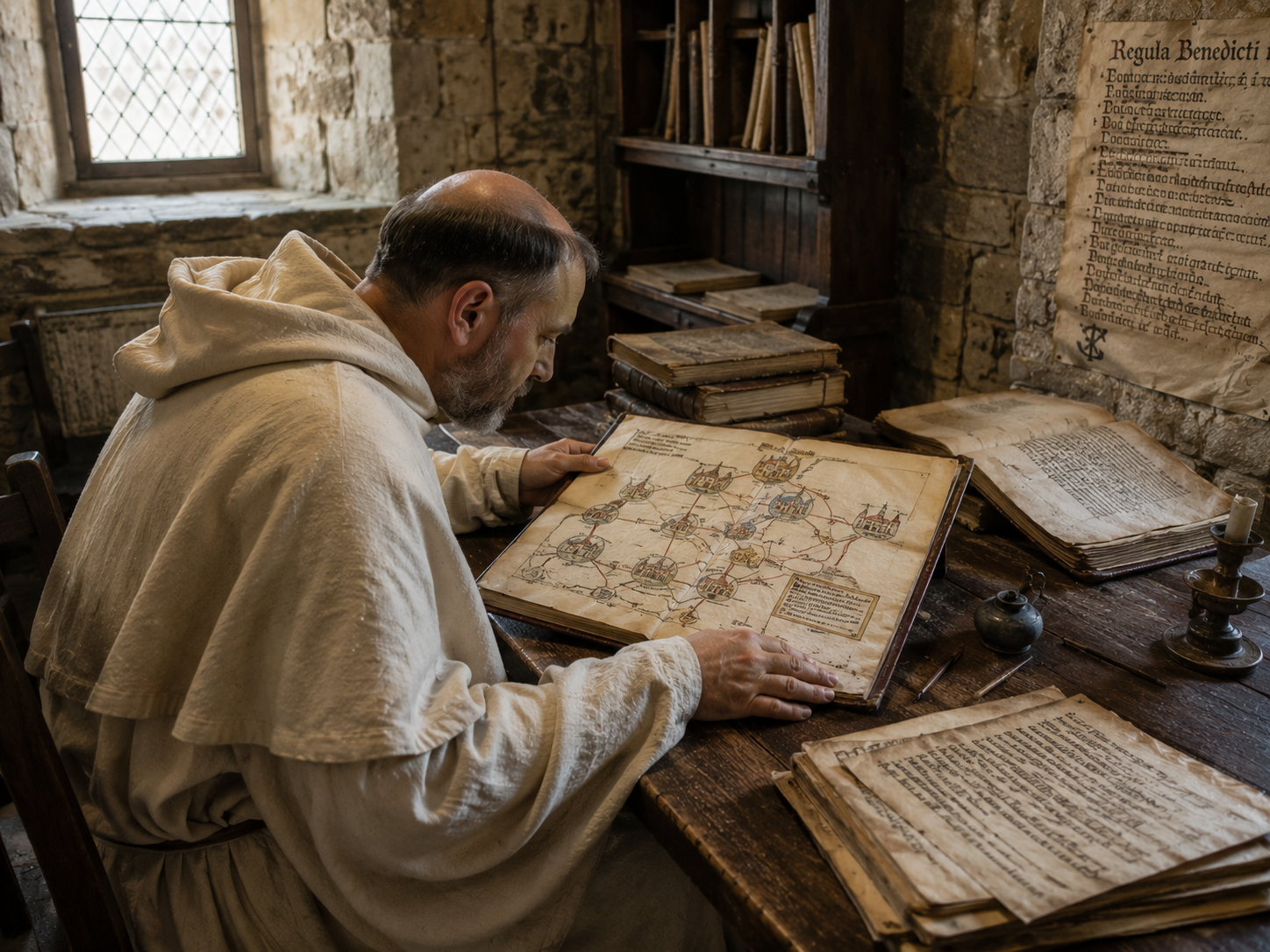
There is a problem with the question itself.
The title says:
How did people travel without maps?
But medieval people did have maps.
What they did not have was the kind of map you are probably imagining.
You could not pull a small device from your pocket and see every road around you.
And a map sitting in a monastery, library or royal collection was not necessarily a practical road map for an ordinary traveler.
This distinction matters.
Research on medieval European travel shows that route information was often provided through written itineraries rather than the kind of detailed road maps we are familiar with today. Maps existed, but practical maps designed specifically for everyday travelers were much less common.
There were also unusual itinerary maps.
Matthew Paris, for example, produced famous itinerary maps connected with journeys from England toward Rome and the Holy Land. But historians have questioned how far such maps were intended as practical guides for someone actually standing on a road.
So it would be wrong to picture medieval Europe as a completely mapless world.
It was a world full of geographical knowledge.
That knowledge simply came in different forms.
A written list of places could be useful.
A guide could be useful.
A local description could be useful.
A landmark could be useful.
A map could be useful.
But none of these worked quite like the glowing blue route on a modern phone.
That is the important difference.
The problem was never:
“Nobody knew where anywhere was.”
The problem was:
“How do I find my way through it?”
And people had many answers.
Maps Were Not the Whole Story
Chapter 6 — And Yes, You Could Still Get Lost
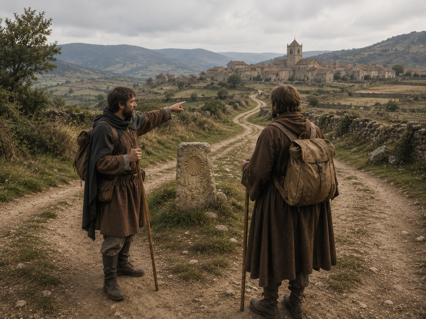
All of this can make medieval travelers sound remarkably good at finding their way.
They were not.
Sometimes the wrong road was simply the wrong road.
A traveler could misunderstand a direction.
A landmark could be missed.
A road could divide.
A place-name could be unfamiliar.
Bad weather could make a familiar landscape difficult to recognize.
And in an unfamiliar town, things could become even harder.
That is one reason guides, landmarks and other people mattered so much.
If everyone could find every place without difficulty, there would have been much less need for them.
The evidence studied by Evans shows that medieval wayfinding was not one perfect method. It was a mixture of routes, landmarks, maps, signs, guides, memory and cooperation. Travelers built up knowledge from several sources rather than depending on one tool.
That is actually quite close to how we navigate without technology today.
Your phone battery dies.
You ask someone.
You look for a road sign.
You recognize a building.
You remember the last turn.
You try to work out where the road should lead.
Then you realize you are wrong.
So you turn around.
The medieval traveler had the same basic problem.
The difference was that this was the normal way of doing things.
There was no digital map waiting to rescue you.
You had to notice where you were.
Remember what you had been told.
Find the next clue.
And, when necessary, ask again.
How the Pieces Worked Together
The Journey Was the Map
So how did people travel without maps?
They did not really travel without information.
They travelled without our kind of information.
A road showed you where people usually went.
A landmark told you where you were.
A local person could tell you what came next.
A guide could help when the journey became unfamiliar.
An itinerary could turn hundreds of miles into a series of places.
And memory tied those places together.
The surprising part is that none of these had to work perfectly.
They only had to work well enough.
You reach the bridge.
Then the village.
Then the hill.
Then the town.
And before you know it, the place that seemed impossibly far away is in front of you.
There was no blue line on the road.
But there was a road.
There were people who knew it.
And there was always another landmark waiting ahead.
Frequently Asked Questions
1. How did people travel before maps?
People followed roads, remembered landmarks, asked for directions and used information from other travelers. They usually learned a journey in smaller parts instead of knowing the entire route at once.
2. How did medieval people navigate without modern maps?
They used roads, crossroads, rivers, bridges, churches, hills and other landmarks. Local knowledge was also important, especially when travelers entered places they did not know.
3. How did medieval people know which road to take?
They could learn the route from other people, follow an established road, look for a known landmark or use written directions. A traveler often needed to know only the next important place.
4. Did medieval people have maps?
Yes. Medieval maps existed, but they were not usually the kind of detailed everyday road maps we use today. Travelers could also rely on written itineraries, local directions and guides.
5. Did medieval travelers ask people for directions?
Yes. Local people, merchants, innkeepers, guides and other travelers could provide useful information about nearby roads and destinations.
6. What landmarks did medieval travelers use?
They could use churches, bridges, rivers, hills, gates, villages and other recognizable features. A landmark was especially useful when several travelers knew the same feature.
7. How did people travel long distances without maps?
Long journeys could be divided into smaller stages. Travelers moved from one known town or settlement to another, using roads, landmarks, guides and places to stay along the way.
8. Did medieval people use travel guides?
Yes. Some written itineraries described routes, towns, stopping places and important landmarks. The 12th-century Codex Calixtinus, for example, described stages of the pilgrimage route to Santiago de Compostela.
9. Did medieval travelers get lost?
Yes. People could take the wrong road, misunderstand directions or become confused in unfamiliar places. Medieval wayfinding was useful, but it was never perfect.
10. How did medieval travelers find their way without GPS?
They relied on a combination of things rather than one tool: roads, landmarks, local people, guides, written information and memory. The next part of the journey was often more important than knowing the entire route.
11. How did pilgrims find their way to Santiago de Compostela?
Pilgrims followed established routes and moved between known towns, villages, bridges, religious sites and stopping places. Written guides such as the Codex Calixtinus also provided information about the journey.
12. What was the biggest difference between medieval and modern navigation?
Modern navigation can show your exact position and give continuous directions. Medieval travelers usually had to build their route from separate clues and information gathered along the